Travel guides by region
Explore Japan by Destination
Pick a region, then a route guide inside it. Each guide covers the anime connection, the food and scenery nearby, and how to get there and around.
North to south
Regions of Japan
This page groups Japan into nine areas for planning: the eight regions travellers usually work with, plus Tokyo on its own because most trips start there. It is a planning grouping, not an official division. Every published route guide is listed under the region it is in.
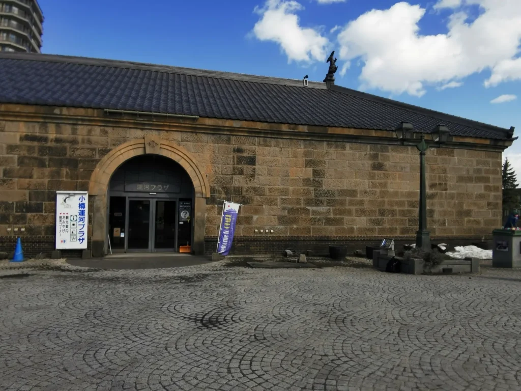
The Former Otaru Warehouse by the Otaru Canal, from the Golden Kamuy guide. Photo: CoFfwqtv · CC BY 4.0 · source
Hokkaido
Japan’s northern island, known for deep snow, seafood and open road-trip country. Summers stay cool and the distances between towns are long.
- Golden Kamuy — Otaru and Sapporo: a railway museum and canal-side buildings in Otaru in one day, with a second day for the Historical Village outside Sapporo, and no car needed.
This is the only Hokkaido guide so far. Both days start from Sapporo Station, so it fits a stay in Sapporo.
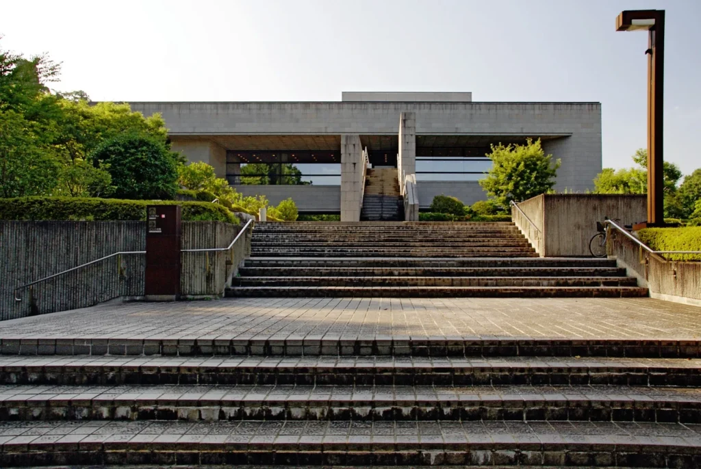
The steps up to Sendai City Museum in 2007, from the Haikyu!! guide. Photo: 663highland · CC BY 2.5 · source
Tohoku
The northern end of the main island, with long winters, mountain hot springs and summer festivals.
- Haikyu!! — Sendai and Akiu, Miyagi: three official character monuments and four design manholes on the subway in a day, and a second day by bus for the fourth monument in Akiu, with no car needed.
This is the only Tohoku guide so far. Both days start from Sendai Station; check the museum’s closing days before you choose the city day.
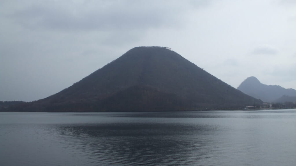
Haruna Fuji across Lake Haruna, Gunma, from the Initial D guide. Photo: Mass Ave 975 · CC BY-SA 3.0 · source
Kanto
The region around Tokyo: the Shonan coast, mountain onsen towns, and inland basins. Some of these trips work as a day out from Tokyo; others are better with a night.
- Initial D — Mount Haruna and Ikaho, Gunma: buses from Takasaki to the lake and the onsen town; Akagi and Myogi are separate days or need a car.
- Slam Dunk — Kamakura and Enoshima, Kanagawa: one level crossing and a coastal railway, sized by the time you have, from two hours to two days.
- Girls und Panzer — Oarai, Ibaraki: a seaside town where the character panels are spread out enough that a bicycle helps.
- anohana — Chichibu, Saitama: four central spots on foot, with the old Chichibu Bridge and Shimoyoshida further out.
- Botan Kamiina — Chichibu and Nagatoro, Saitama: sake, whisky and the shibazakura slope, with Nagatoro as a separate stop down the valley.
These run in different directions from Tokyo — Gunma north-west, the Shonan coast south-west, Oarai north-east, Chichibu west — so they are separate trips, not one circuit. The two Chichibu guides share a base and pair over two days.
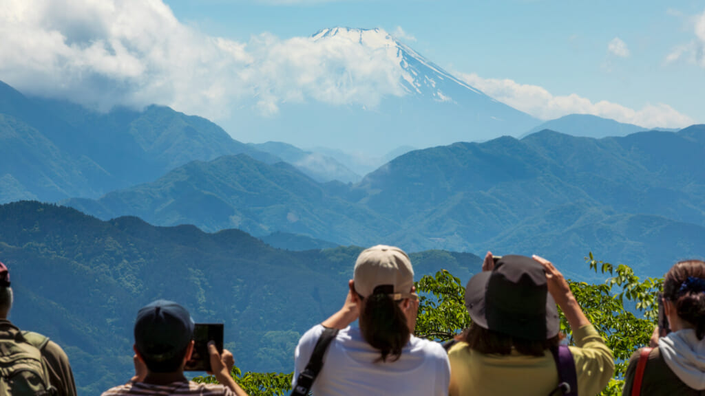
Mount Fuji from the summit of Mount Takao, from the Food for the Soul guide. Photo: Ximonic (Simo Räsänen) · CC BY-SA 4.0 · source
Tokyo
Listed on its own because most trips start here. Neighbourhoods differ sharply, and trains reach almost everywhere.
- Bocchi the Rock! — Shimokitazawa: a walkable district seven minutes from Shinjuku; the live-house half needs a ticket for a particular show, bought when that show goes on sale.
- Food for the Soul — Hachioji and Mount Takao: a mountain day on Takao’s Trail 1, with the Hachioji city spots treated as a separate outing.
Two different days: an evening in a live-house district, or a climb with lunch on the mountain.
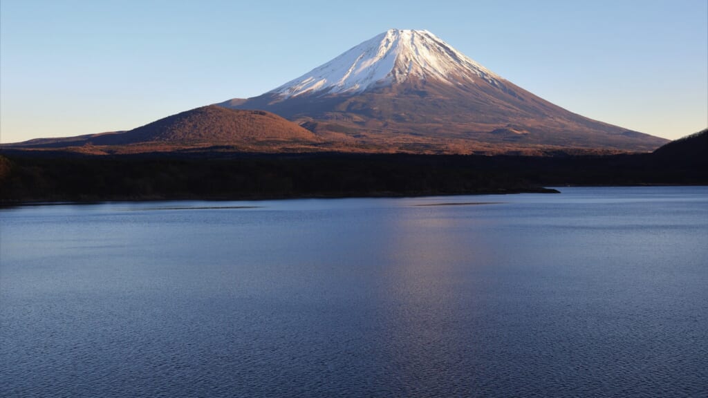
Mount Fuji from Lake Motosu, Yamanashi, from the Yuru Camp guide. Photo: Alpsdake · CC BY-SA 4.0 · source
Chubu
Central Japan: the Japanese Alps, Mt. Fuji and the lakes and valleys around them, with quiet castle towns and a long Pacific coast.
- Love Live! Sunshine!! — Numazu and Uchiura, Shizuoka: the port by Numazu Station, then a 35 to 40 minute bus out to the Uchiura shore.
- Yuru Camp — Yamanashi and Shizuoka: individual stops can be reached by train, bus and occasional taxi; a car helps link distant places in one day and carry camping gear.
- mono — Kofu and Yamanashi: fifty-three map spots; pick one district — Kofu on foot, the Yamanashi City hills, Katsunuma or Hokuto — rather than all of them.
- Your Name — Hida-Furukawa, Gifu: a small town on foot; stay in Furukawa for quiet or Takayama for choice.
- Makeine — Toyohashi, Aichi: a walkable city centre with a streetcar, and Futagawa and the zoo a short ride out.
Three groups, not one route: the Shizuoka coast and Mount Fuji (Numazu, Yuru Camp), the Kofu basin (mono, which shares four places with Yuru Camp), and the Nagoya side (Toyohashi on the coast, Hida in the mountains).
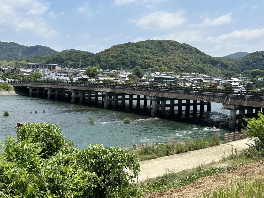
Uji Bridge over the Uji River, Kyoto, from the Sound! Euphonium guide. Photo: 京都東 · CC BY-SA 4.0 · source
Kansai
Kyoto, Osaka and Nara sit close together here, with ports and mountains just beyond.
- K-ON! — Toyosato, Shiga: the white 1937 school widely regarded as the model for the anime’s, by JR to Hikone and the Ohmi Railway from Kyoto, with Hikone Castle on the way back.
- Sound! Euphonium — Uji, Kyoto: a riverside walk sixteen minutes from Kyoto Station, with Byodoin and a twenty-minute hill if you want the full day.
- Summer Time Rendering — Tomogashima and Kada, Wakayama: an island day of about seven to eight hours from Wakayamashi Station, timed to the ferry, with a second day in Kada for the shrine and sea bream if you want it.
The three are separate trips: Toyosato is a day out of Kyoto, Uji works as a half day out of Kyoto or a full day on its own, and Tomogashima depends on the ferry, so keep a spare day for it if you can.
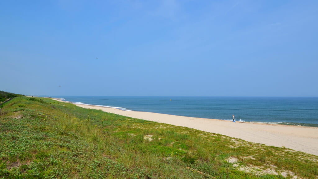
The Hojo coast in Hokuei, Tottori, from the Detective Conan guide. Photo: ㎇月例祭 · public domain · source
Chugoku
The western end of the main island, facing the Seto Inland Sea on one side and the Sea of Japan on the other. Sand dunes, island hopping and quiet castle towns.
- Detective Conan — Hokuei, Tottori: Conan Street on foot between Yura Station and the museum; Kurayoshi, the coast or the sand dunes on a second day.
- Tamayura — Takehara, Hiroshima: the old town on foot from Takehara Station in four to six hours, with a second day by train and ferry to Tadanoumi and Okunoshima if the boat runs.
Hokuei and Takehara are at opposite ends of the region, so treat them as separate trips.
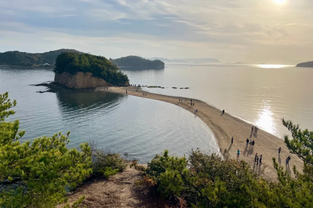
Angel Road on Shodoshima, Kagawa, from the Teasing Master Takagi-san guide. Photo: おにく · CC0 · source
Shikoku
The smallest of the four main islands, known for its pilgrimage route, river gorges and an unhurried pace.
- Teasing Master Takagi-san — Shodoshima, Kagawa: a day trip by ferry from Takamatsu, or a night in Tonosho, with Angel Road timed to the tide and no car needed.
This is the only Shikoku guide so far. Look up the tide table first: it decides whether the day trip is enough.
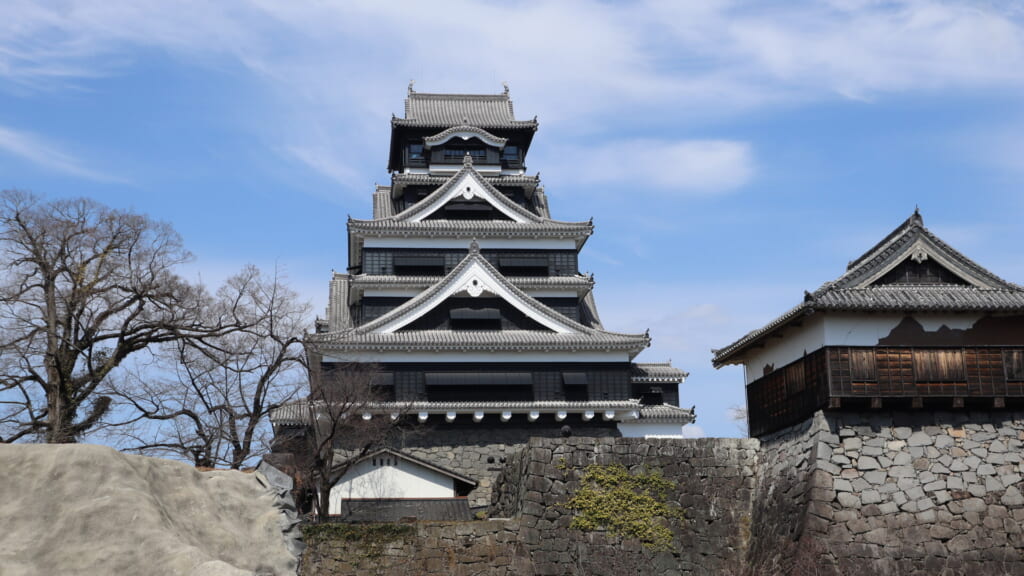
Kumamoto Castle, from the ONE PIECE guide. Photo: ノボホショコロトソ · CC BY-SA 4.0 · source
Kyushu
The southern island, shaped by volcanoes and hot springs.
- Attack on Titan — Hita, Oita: the old town on foot and the Oyama statues by bus, bicycle or taxi.
- ONE PIECE — Kumamoto: ten Straw Hat statues across nine towns; choose a few by transport rather than all in one day.
- Zombie Land Saga — Karatsu and Yobuko, Saga: the mansion’s model from outside and the manholes, by bus and on foot from Karatsu Station, with a second day for Yobuko’s morning market.
All three start from Fukuoka, in different directions — Hita by highway bus or JR, Kumamoto by shinkansen from Hakata, Karatsu by subway and JR or highway bus — so treat them as separate trips.
Twenty-three route guides are published, each of them in English, Traditional Chinese and Korean, and all of them are listed above. Each of the nine regions now has at least one.
Before you go
Planning Your Journey
The planning itself lives inside each route guide: every one answers the same four questions for its own area, so open the guide for your region and go to these sections. What sits on top of them is the base-city planner, which groups all twenty-three routes by the city you will be sleeping in — it tells you which guide to open, not what to do once you are there.
Getting There
“How to Get There” starts from the nearest gateway — Tokyo, Nagoya, Osaka or Fukuoka — and gives the simplest rail or bus route from it.
Getting Around
“Best Way to Get Around” covers the local railway or bus, whether a day pass pays, and when a car is worth it. In several guides it is not.
Where to Stay
“Where to Stay” compares bases by area rather than naming one hotel: the town itself, a nearby onsen, or a bigger city within reach.
Suggested Itineraries
“Suggested Itinerary” lays out one- and two-day versions with times, and says which parts are planning estimates.
The practical sections live inside each route guide; nothing on this page replaces them.